
New Information Note
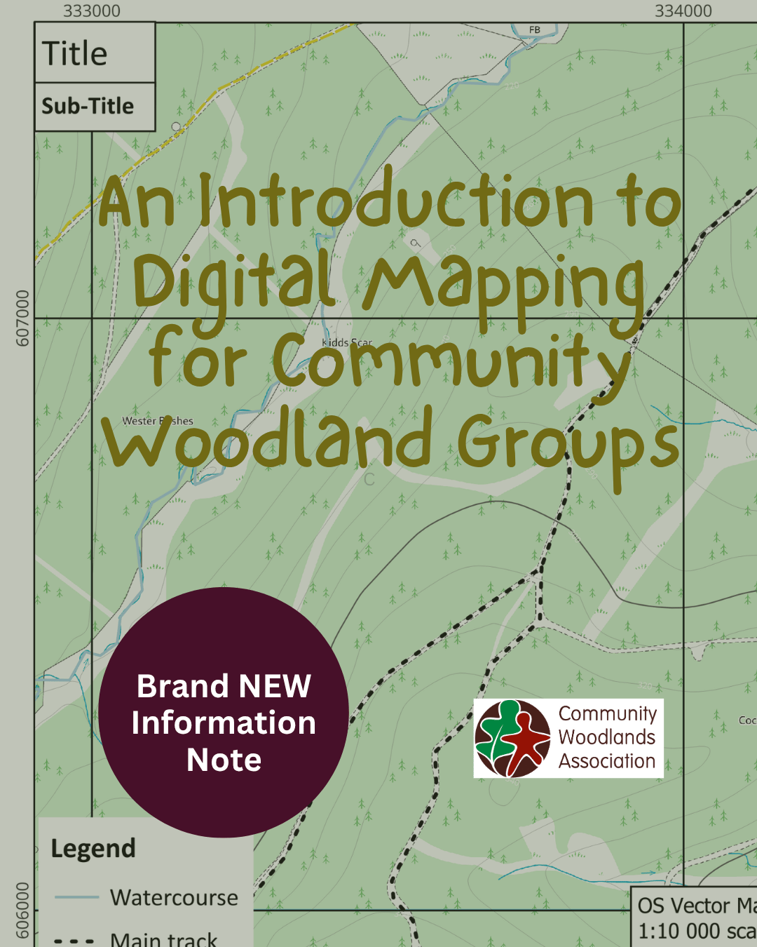
Our brand new Information note (number 33): An Introduction to Digital Mapping for Community Woodland Groups is now available.
Mapping is an essential part of woodland management. Maps are used throughout the planning and management of woodlands, from designing new planting schemes to planning harvesting operations. They also play an important role in managing access, whether that's showing existing footpaths on an information board or planning and marking out new walking, cycling or mountain bike trails.
Information Note 33 introduces the basics of digital mapping, why it is important for woodland management and community woodland groups (CWG), what to consider when creating your own maps, and some of the mapping software available.
Contents include:
Mapping for community woodlands
A quick note on vector & raster data
Finding and sharing locations
Mapping software
What should a good map include?
Adding additional data
Common challenges