Mapping
-
-
Alice Brawley (CWA Woodland Officer) presents a three-part webinar on mapping - an essential part of forest planning, whether you are applying for grants, delivering forest operations or planning future programmes.
Introduction to Mapping. CWA Webinar. Session 1. February 2026
An introduction to Geographical Information Systems (GIS)
Why mapping is useful to community woodlands
Limitations of mapping
Introduction to some of the different mapping software's available and the pros and cons of each.
Mapping Fundamentals. CWA Webinar. Session 2. February 2026
Part A:
An introduction to spatial model: vector and raster
How spatial data is organised, and how vector and raster data are used together
Part B:
An introduction to map production, including design basics, basemaps, copyright, symbology and labels
How to source and add additional data to your maps, such as priority habitats, soil data, archaeology data, river networks or timber transport routes
An introduction to common mapping challenges, including data quality issues, human and organisational challenges and mapping presentation issues
Mapping in Action. CWA Webinar. Session 3. March 2026
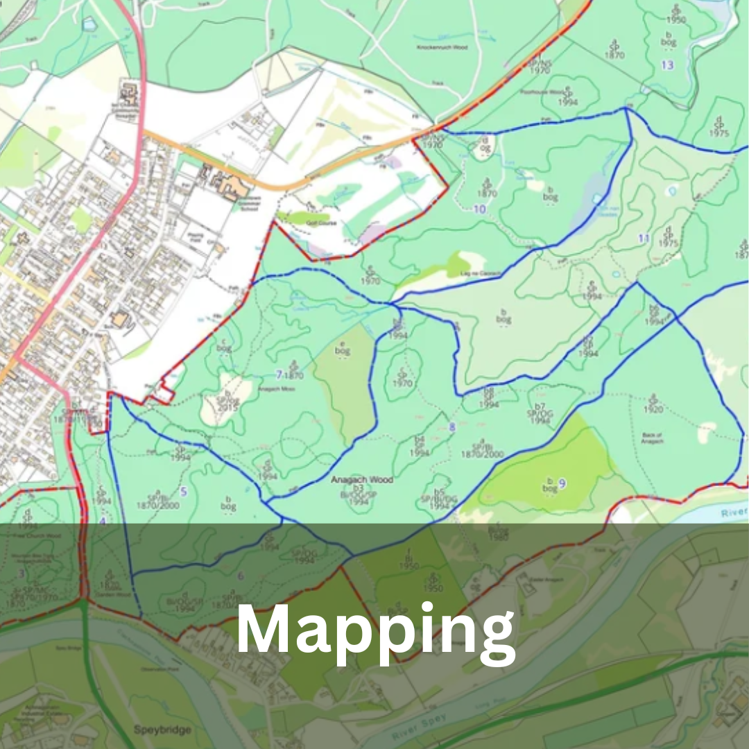
A presentation from Steve Blow at Anagach Woods Trust on how their community woodland has approached mapping
A practical demonstration on how to create a map in MyForest (desktop), and export it as a georeferenced PDF
A demonstration on how to upload the exported georeferenced map to Avenza (mobile app), collect data in the woodland and export the data
A demonstration on how to return to MyForest, import the survey data and edit your original map
-